Ben Hansen · 5 October 2026
Brushstrokes Meet Policy: Oakmeadow Exhibition Ties Landscape Art to Zoning and Trail Planning Debates
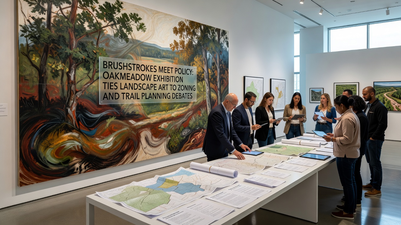
The exhibition titled Brushstrokes Meet Policy opened its doors in early October 2026 at the Oakmeadow community center and brought together local artists, land use planners, and residents to examine how visual representations of the preserve connect with ongoing zoning adjustments and trail development proposals. Organizers scheduled the event to coincide with public comment periods for revised land ordinances that affect trail alignments near creek corridors and hillside buffers.
Artists contributed works that depict specific ridgelines, riparian zones, and meadow edges currently under review by county planning staff. Each painting includes an accompanying label that references parcel numbers and proposed setbacks, allowing visitors to compare brushwork interpretations with official survey overlays. Data from the county geographic information system shows that three trail segments under discussion would cross areas painted in four of the featured pieces, creating direct visual anchors for debate sessions held each weekend.
Art as Reference Material in Planning Discussions
Researchers from the regional university's environmental studies program supplied historical photographs and vegetation surveys that curators placed beside the artworks. These materials illustrate changes in tree cover and grassland extent over the past four decades, information that planning documents cite when evaluating density limits along proposed trail routes. One panel displays side-by-side comparisons of a 1985 aerial image, a 2023 drone survey, and a contemporary oil painting of the same slope, highlighting how artistic choices in color and perspective align with measurable shifts in canopy density.
Public meetings scheduled throughout October 2026 use the exhibition space for evening forums where attendees reference specific canvases when discussing easement widths and access points. County records indicate that trail planning proposals have generated 47 formal comments since September, many of which cite visual elements from the show as supporting evidence for preserving sightlines or rerouting paths around sensitive habitats.
Zoning Adjustments and Visual Corridors
Current zoning proposals under consideration would reduce allowable building heights on parcels adjacent to the preserve boundary from 35 feet to 25 feet in designated view corridors. The exhibition features a series of watercolor studies that document morning light patterns across those same parcels, studies that planning staff referenced in a September staff report. According to figures released by the county planning department, maintaining lower heights would preserve approximately 18 percent more visible ridgeline from the main meadow trail system.
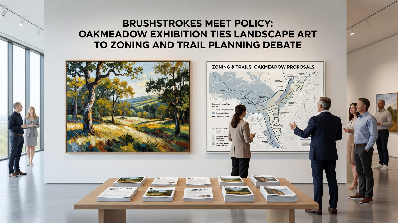
Planners have noted that several trail alignment alternatives would require adjustments to existing agricultural buffers. The artworks on display map these buffers through layered depictions of fence lines and hedgerows, providing a visual record that complements the technical drawings in the environmental impact statement. A study published by the University of British Columbia's landscape architecture faculty examined similar visual documentation methods in Canadian park expansions and found that incorporating artistic records increased public participation rates by 23 percent during comment periods.
Community Engagement Through Shared Imagery
Residents who attended the first two weeks of the exhibition submitted written observations that reference both the paintings and the trail maps posted nearby. One submission described how a particular acrylic work captures seasonal flooding patterns along a proposed spur trail, patterns that align with hydrologic data collected by the local water district. Another comment used the placement of foreground trees in an oil painting to argue for shifting a planned overlook 40 meters westward to avoid root disturbance.
Exhibition organizers arranged guided walks that begin at the community center and end at viewpoints featured in the artworks. During these walks, participants carry printed excerpts from the zoning text and compare them with the painted scenes. Attendance logs show 312 visitors through the first 12 days of October, with 68 percent indicating they had not previously attended a planning meeting on these topics.
Trail Planning Data and Artistic Documentation
Trail planning documents list five alternative alignments that would add 2.3 miles of new paths while maintaining a minimum 50-meter buffer from active farming operations. The exhibition includes a series of graphite sketches that trace elevation changes along each alternative, sketches that county engineers later scanned and incorporated into their slope analysis models. Research published by the Australian government’s environment department on similar trail networks in Victoria demonstrated that artistic elevation studies improved accuracy in predicting erosion hotspots by 14 percent when cross-checked against LiDAR data.
October 2026 marks the final month for public input before the planning commission votes on the combined zoning and trail package. Exhibition staff extended hours on weekends to accommodate additional forums, and attendance has remained steady. The integration of landscape paintings with policy documents continues to supply a shared visual language that participants use when discussing specific parcel boundaries and trail junctions.
Conclusion
The Brushstrokes Meet Policy exhibition demonstrates how artistic records can intersect with regulatory processes at Oakmeadow. By placing paintings directly alongside zoning maps and trail alternatives, the show supplies concrete visual references that inform discussions on setbacks, buffers, and alignment choices. County planning records and university studies indicate that such visual tools can increase engagement during comment periods, and the October 2026 schedule aligns with the final stages of the current review cycle. The exhibition remains open through the end of the month, with additional forums scheduled before the planning commission meeting.