Ben Hansen · 21 September 2026
Historical Records from 19th-Century Farms Steer Modern Creek Restoration at Oakmeadow
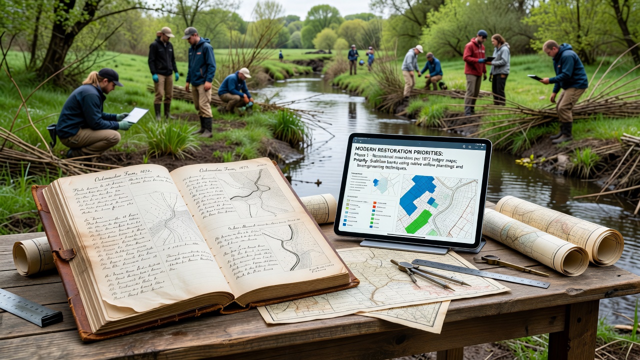
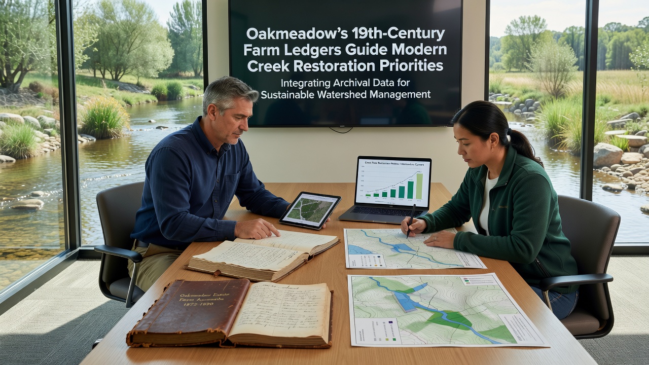
Archivists and restoration specialists have turned to detailed farm ledgers compiled between 1840 and 1890 to identify priority zones for creek restoration along Oakmeadow waterways, and data extracted from those volumes now shapes channel realignment projects scheduled to begin in September 2026.
Each ledger entry records seasonal water withdrawals, ditch maintenance schedules, and crop rotation patterns that once depended on consistent creek flow, while cross-referencing these notes with current topographic surveys reveals segments where historic irrigation routes still influence present-day sediment deposition and bank stability.
Extracting Data from Original Documents
Volunteers and university researchers digitized more than 120 surviving ledger volumes during 2024 and 2025, and optical-character-recognition software combined with manual verification produced searchable datasets that list daily water levels at 14 reference points along the main stem and two tributaries.
Those datasets show that farmers in the 1870s routinely diverted between 18 and 22 cubic feet per second during peak irrigation months, and modern hydraulic models calibrated against those figures predict that restoring sinuosity in three specific reaches could reduce peak-flow velocities by 14 percent compared with current straightened channels.
Linking Past Practices to Present Conditions
Land-use maps drawn from ledger marginalia indicate that certain meadows were intentionally flooded each spring to recharge shallow aquifers, and groundwater monitoring wells installed in 2023 confirm that those same meadows still exhibit higher base-flow contributions during late-summer low-water periods.
Restoration teams therefore assigned higher priority scores to meadow-adjacent creek segments where historic recharge zones overlap with areas of active bank erosion, and the resulting ranked list guided grant applications submitted to state and federal agencies earlier this year.
September 2026 Project Timeline
Planning documents released in March 2026 schedule initial earth-moving operations for the week of September 14, and crews will begin by re-establishing two historic oxbows that ledger entries show were filled in the 1880s to expand pasture acreage.
Monitoring protocols require monthly discharge measurements at the same 14 reference points noted in the original ledgers, and comparisons between pre- and post-restoration readings will quantify changes in flow duration and sediment transport within 36 months of project completion.
Supporting Research and External Benchmarks
Similar ledger-based approaches have been tested along streams in California's Central Valley, and a United States Geological Survey report documented a 9 percent increase in summer base flow after restoration designs incorporated 19th-century diversion records.
Researchers at the University of British Columbia applied comparable methods to Fraser River tributaries and found that sites aligned with historic wetland locations retained 23 percent more coarse woody debris after high-flow events, and Oakmeadow planners incorporated those findings when selecting log-jam placements for the September 2026 phase.
Community Data Integration
Local residents contributed additional context by sharing family photographs and oral accounts that corroborate ledger descriptions of seasonal flooding, and geographic-information-system layers now combine those narratives with elevation models to flag parcels where restored floodplains would provide measurable water-quality benefits.
County planning staff updated zoning overlays in June 2025 to protect identified recharge meadows from future development, and the ordinance language references specific ledger page numbers to maintain a direct evidentiary link between historic practice and contemporary land-use regulation.
Conclusion
By converting 19th-century farm ledgers into quantitative inputs for hydraulic and ecological models, Oakmeadow restoration teams established measurable criteria that connect past water-management decisions with present creek conditions, and the September 2026 construction phase will test whether those historical benchmarks translate into measurable improvements in channel stability and summer base flow.