Uma Becker · 19 October 2026
Oakmeadow's Archived Farm Ledgers Quietly Guide Decisions on Trail Networks and Artist-Led Green Space Initiatives
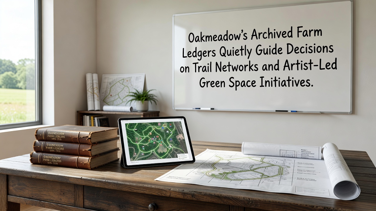
Historical farm ledgers dating back to the mid-1800s continue to shape planning efforts at Oakmeadow, where entries on crop rotations, soil drainage, and livestock movements inform current choices about trail alignments and the layout of artist-led green spaces. These records, preserved in local archives, detail how earlier generations managed water flow across fields and woodlots, data that now helps route paths away from erosion-prone slopes while preserving natural contours.
Planners cross-reference ledger notes on seasonal flooding with modern topographic surveys, and this process has already adjusted several proposed trail segments in the northern section of the preserve. Entries from 1872, for instance, record repeated spring overflows near what is now the main meadow, prompting today's designers to elevate boardwalks rather than cut into the soil. Such adjustments reduce maintenance needs and protect root systems that stabilize the ground.
Trail Network Planning Draws on Ledger Details
Trail committees review the ledgers alongside GIS layers to identify corridors that align with historic animal paths and former fence lines. These alignments tend to follow gentler grades that the original farmers favored for moving equipment, and the result is a network that requires fewer switchbacks while respecting existing vegetation patterns. In one recent mapping session, staff noted that a proposed loop near the creek matched a livestock trail documented in 1894, so the route was shifted slightly eastward to avoid a sensitive wetland margin.
October 2026 marks the scheduled opening of two new connector trails that incorporate these historical alignments. Construction crews will use the ledgers to determine where old drainage ditches still function, allowing them to integrate those features into the trail design instead of installing new culverts. This approach keeps costs lower and maintains the hydrological balance recorded in the documents.
Artist-Led Green Space Initiatives Build on the Same Records
Local artists participating in the green space program examine the same ledgers to understand past land divisions and planting schemes. One installation scheduled for 2027 will recreate a grid of hedgerows described in an 1887 entry, using native species chosen for their historical presence rather than modern ornamentals. The project team consults the ledger's yield estimates to gauge how dense the original plantings grew, and this information guides spacing decisions in the new layout.
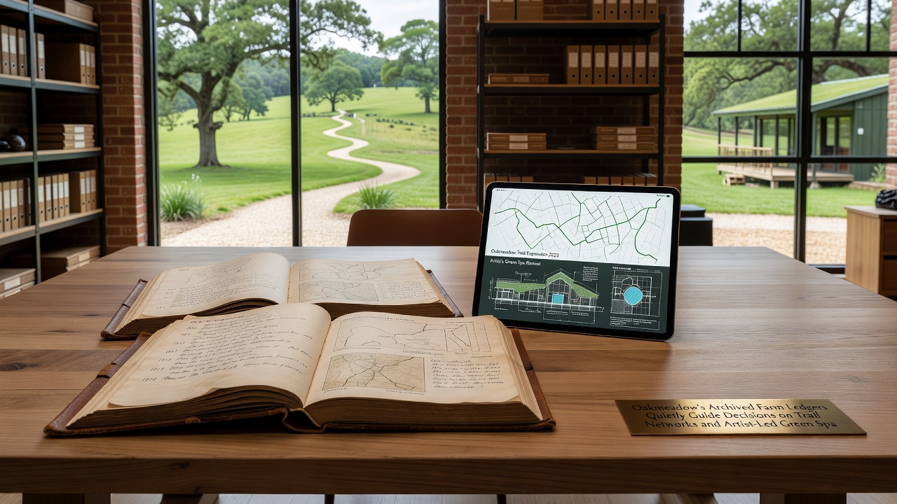
Another initiative pairs sculptural elements with restored fence rows that appear in the records. Artists select materials and forms that echo the wooden posts and stone piles described in the documents, creating visual references to the farm's earlier configuration. These works also mark trail junctions, helping visitors connect the current landscape with its documented past without relying on interpretive signs alone.
Researchers at the University of British Columbia have examined similar ledger-based planning in Canadian prairie preserves, where historical grazing notes helped refine trail placement and reduced soil compaction in sensitive zones. Oakmeadow staff have referenced that work when calibrating their own trail widths and surface materials.
Integration of Records into Broader Land Management
Monthly meetings between archivists, trail coordinators, and artists ensure that ledger insights reach every stage of project development. Participants scan entries for mentions of windbreaks and water sources, then overlay those locations on current vegetation maps. The process has already identified three former spring sites that now support small artist installations designed to highlight water movement across the property.
Data from the ledgers also informs invasive species removal schedules, because older notes list the first appearances of certain non-native plants along field edges. By targeting those same edges for trail-adjacent restoration, managers address both ecological concerns and visitor access in a single effort. A 2025 pilot project cleared a 400-meter stretch using this method, and monitoring shows reduced regrowth compared with areas cleared without historical context.
External partners, including the Australian Department of Climate Change, Energy, the Environment and Water, have shared comparable case studies from heritage farm sites in New South Wales, where ledger data guided the placement of walking tracks that avoid culturally significant plant communities. Oakmeadow planners incorporated elements of that methodology when refining their own green space boundaries.
Conclusion
The continued use of these archived ledgers demonstrates how 19th-century observations on land management translate into practical decisions for trail networks and artist-led spaces at Oakmeadow. As October 2026 approaches, additional trail segments and installations will test further applications of the same records, extending the influence of those original entries into contemporary landscape planning.