Uma Becker · 7 September 2026
Oakmeadow's Water-Wise Shift: How Drought Pressures Are Reshaping Local Land Use Policies
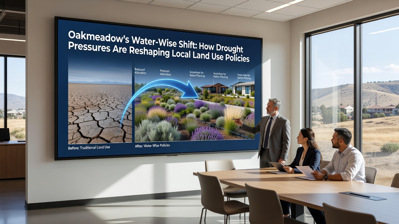
Local authorities in Oakmeadow have responded to prolonged drought conditions by updating land use policies that prioritize water conservation across residential, agricultural, and commercial zones, and these adjustments gained momentum through September 2026 as new data on aquifer levels became available. Officials integrated restrictions on turf grass installations with incentives for native plant landscaping while developers adjusted project plans to include permeable surfaces and rainwater harvesting systems.
Tracking Drought Patterns and Their Effects
Monitoring stations across the region recorded below-average precipitation for the fifth consecutive year, which prompted planners to examine how zoning rules could reduce overall water demand without halting growth. Data compiled by regional water districts shows that outdoor irrigation accounts for a significant portion of municipal usage, so revised ordinances now limit lawn sizes and require soil moisture sensors on new builds. Agricultural operators meanwhile shifted toward drip irrigation and crop rotation schedules that align with seasonal rainfall forecasts, and these changes emerged after consultations with extension services that provided soil and climate analysis.
Policy Updates Implemented in Recent Months
City council members approved amendments in September 2026 that tie building permits to water budget calculations, meaning larger projects must demonstrate net-neutral consumption through on-site recycling or offset programs. The updates also expanded protection zones around sensitive wetlands and recharge areas, preventing certain types of paving or construction that could increase runoff. Observers note that these measures build on earlier pilot programs where several neighborhoods tested xeriscaping requirements, and results indicated measurable drops in peak summer demand.
Business districts received guidance on retrofitting parking lots with bioswales and shade trees that lower evaporation rates, while homeowners gained access to rebates for converting sprinklers to smart controllers. County records show permit applications for drought-tolerant landscapes rose steadily during the first half of 2026, reflecting broader awareness of the new rules.
Impacts on Development and Agriculture
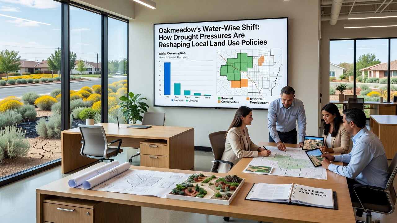
Real estate developers adjusted site plans to cluster housing units around shared green spaces that use reclaimed water, and this approach helped maintain project density while meeting conservation targets. One project near the eastern boundary incorporated greywater systems from the outset, allowing laundry and shower water to irrigate common areas after treatment. Agricultural landholders meanwhile converted portions of traditional row crops to drought-resistant varieties, supported by cost-sharing programs that cover equipment upgrades.
Land use maps updated in late 2026 reflect these transitions through new categories for low-water commercial zones and protected recharge corridors. Transportation planners coordinated by aligning road expansions with stormwater management features that capture runoff for later use, reducing pressure on potable supplies. Researchers tracking vegetation health via satellite imagery found that areas following the updated guidelines maintained higher canopy cover during heat waves compared with older developments.
Community Adaptation and Resource Allocation
Public workshops held throughout the summer of 2026 introduced residents to soil amendment techniques and plant selection lists tailored to local microclimates, and attendance records indicate strong participation from both longtime residents and newer arrivals. Schools incorporated lessons on watershed science into environmental studies curricula, giving students hands-on experience with monitoring stations installed on campus grounds. Utility providers rolled out tiered pricing that rewards lower consumption, and billing data collected through September 2026 showed gradual shifts in usage patterns across multiple zip codes.
Nonprofit organizations partnered with the city to restore riparian buffers along local waterways, planting species that stabilize banks and improve infiltration rates. These efforts complement policy changes by adding natural infrastructure that supports groundwater recharge during rare storm events. Funding for such projects came through a combination of local bonds and grants tied to statewide drought resilience initiatives.
Conclusion
Oakmeadow continues to refine its approach as new hydrological data arrives, with land use policies serving as the primary mechanism for balancing growth against limited water resources. Ongoing evaluations scheduled for 2027 will assess whether current measures achieve projected savings, and adjustments may follow based on performance metrics gathered from across residential and agricultural sectors. The coordinated response demonstrates how drought conditions can drive systematic changes in planning frameworks while maintaining functional communities.